Neighborhood Bike Route Implementation Guide – Revised Draft
At the February 4th, 2021 BPAC Infrastructure Committee meeting, Jennifer Stanley, OakDOT staff from the Bicycle & Pedestrian Section, presented the revised draft of the Neighborhood Bike Routes Implementation Guide. The previous draft is here.
Notes from the presentation and discussion are below.
Neighborhood Bike Route Implementation Guide
REVISED DRAFT, last updated January 26, 2021
Map and Figures (numbering to be updated)
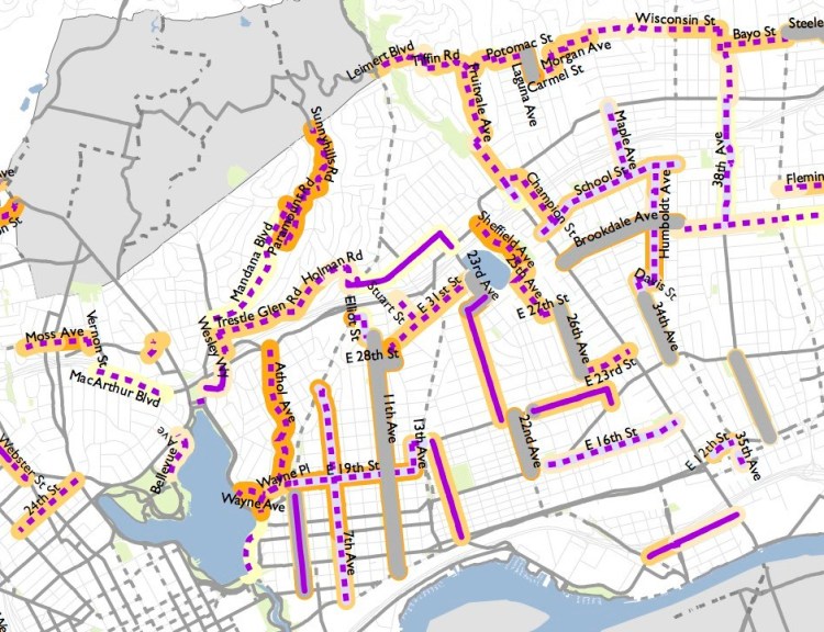
This Guide provides direction on implementing the City of Oakland’s bike plan: Let’s Bike Oakland! (2019) recommendations for “neighborhood bike routes” (NBRs) also known as “bicycle boulevards.” The bike plan proposes over 75 centerline miles of NBRs defined on page 22 as:
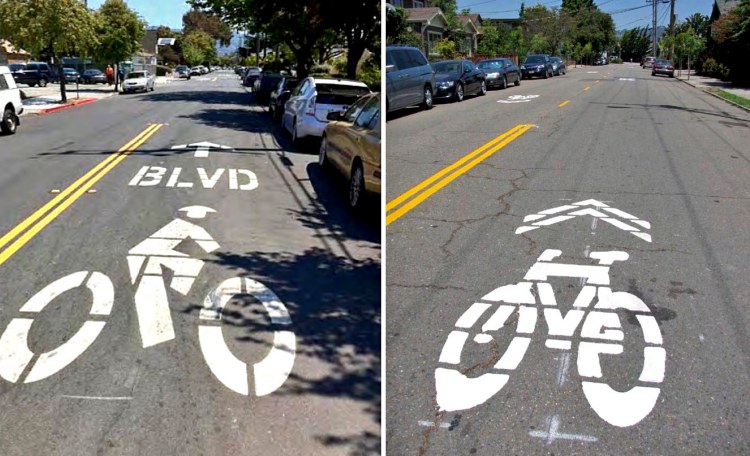
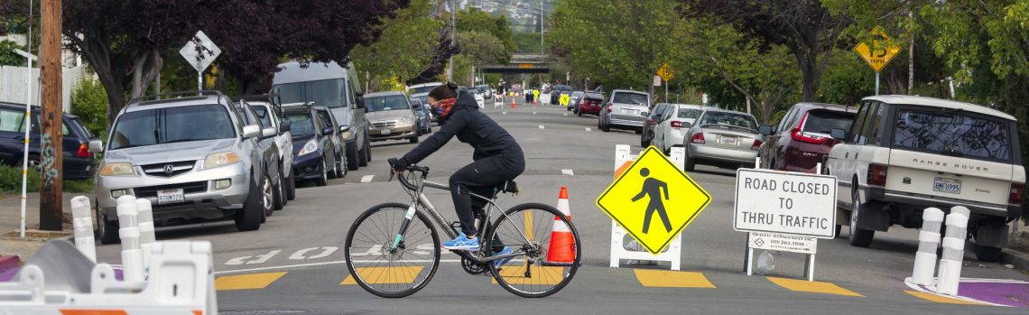
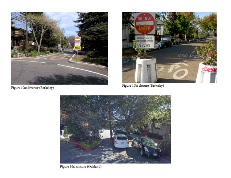
- Calm local streets where bicyclists have priority but share roadway space with automobiles.
- Include shared roadway bicycle markings on pavement and additional traffic calming measures like speed humps or traffic diverters to keep streets comfortable for bicyclists
- Comfortable for bicyclists with wider range of comfort levels
This Guide does not apply to proposed NBRs that are infeasible (e.g. on high-volume bus routes or on arterial streets). See [name of document] for the feasibility of individual NBRs and the criteria by which feasibility was determined.
The bike plan outlines four actions for streets to be designated as NBRs: Improving Major Street Crossings; Reducing or Preventing Speeding; Preventing High Car Volumes; and Increasing Pavement Quality. This Guide describes implementation in five subject areas: Scoping & Monitoring, Route Establishment, Traffic Calming, Traffic Control, and Public Notification & Comment.
Read More